Taiwan's navy will hire fishing boats and civil aircraft to map its likely invasion beaches
The navy plans to send civilian survey firms with sonar and airborne lidar onto its red beaches, feeding a NT$1.25bn data centre for minelaying and submarine hunting.
TAIPEI —
Taiwan's navy will contract civilian survey companies to chart the beaches its military regards as most exposed to a Chinese amphibious assault, using hired fishing boats and leased civil aircraft rather than relying only on its own ships, the Liberty Times reported on Saturday. The defence ministry approved the change, which is being run through its Defense Innovation Office, according to the report.
The sites are known in Taiwan's armed forces as red beaches, stretches of coast judged able to support a large-scale conventional landing. The military grades its coastline by colour, with yellow beaches seen as open only to unconventional landings and blue beaches as difficult to assault. Assessments by the ministry, US think tanks and Taiwan's Institute for National Defense and Security Research have put the number of likely landing points at between four and 20, including Zhuwei in Taoyuan, Wazihwei in New Taipei's Bali district and Xishu in Tainan, the paper said.
Until now the navy has mostly gathered hydrographic data on these beaches itself, with its 192nd and 151st fleets working them during exercises. The report said that approach has struggled to keep up with nearshore terrain that shifts with the seasons and with typhoons, and that large warships cannot reach the shallowest water while small craft survey it only slowly.
The plan has two parts. In the first, survey firms will fit multibeam echo sounders to fishing boats and send them into the surf zone, where the water is between zero and three metres deep, to collect dense depth readings. In the second, the navy will lease civil aircraft carrying lidar, which uses laser pulses that can pass through the sea surface, to build three-dimensional models of beaches and the seabed beside them over wide areas. The data are meant to support anti-landing planning and decisions on where to lay defensive mines.
The surveys feed a larger project. The navy has decided to set up an integrated mission centre inside its Meteorological and Oceanographic Office and has set aside NT$1.25 billion for civilian contractors to build its hardware and software, a second Liberty Times report said. The centre is designed to take hydrographic and acoustic data gathered from the air, the sea surface and the deep ocean and automatically turn them into battlefield models for anti-landing minelaying and anti-submarine warfare.
The office has already signed cooperation memorandums with the Ship and Ocean Industries R&D Center and with Aerospace Industrial Development Corp, and the paper judged those agreements likely to be tied to the work. Separately, the navy has budgeted NT$12 million for its first underwater glider system with autonomous cruising and acoustic tracking, buying it directly for unit evaluation instead of going through the usual development route at the National Chung-Shan Institute of Science and Technology.
Gliders of this kind move silently by changing their buoyancy and centre of gravity and can stay submerged for months. The navy expects them to patrol the Bashi Channel and the waters east of Taiwan, logging the sound signatures of passing ships along with temperature and salinity readings at different depths, data that will also flow into the new centre to cover gaps in existing sonar coverage.
Handing sensitive coastal data to private firms has raised security concerns. Legislators have asked why an office with a staff of only a little over 200 is spending more than a billion New Taiwan dollars while leaning heavily on civilian companies and government-funded foundations. Military officials told the paper the system was built so that boats, aircraft and commercial gliders collect only raw physical measurements, while cleaning, fusing and turning the data into anti-landing coordinates stays with the navy's own classified units.
Officials described the effort as an attempt to follow the Pentagon's Defense Innovation Unit in moving commercial technology quickly into military service. Once the centre is running, they said, the navy would have its first dynamic sensing network for the coastal zone, able to guide fast minelaying boats or uncrewed underwater vehicles to lay mines in channels and approaches before an invasion fleet arrives. The reports did not give a start date for the surveys or say when the centre would begin operating.
Sources
More in Navy
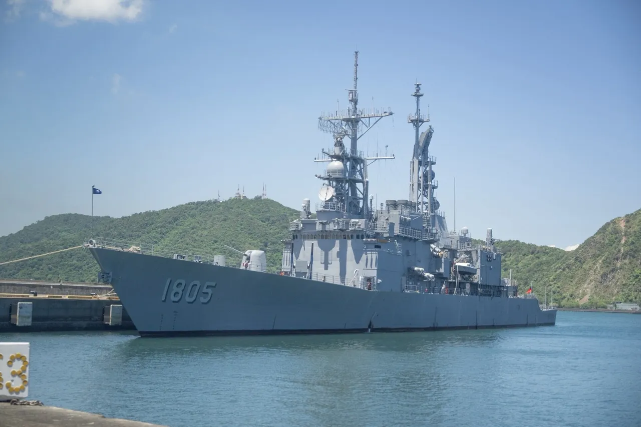
Taiwan's navy will wire air combat training pods into its four Keelung-class destroyers
A NT$2.44bn joint buy of NCSIST ACTIS pods will link the navy's air-defence flagships to the air force's live training network for joint drills.
TaiwanDefence · 1d ago · 3 min read
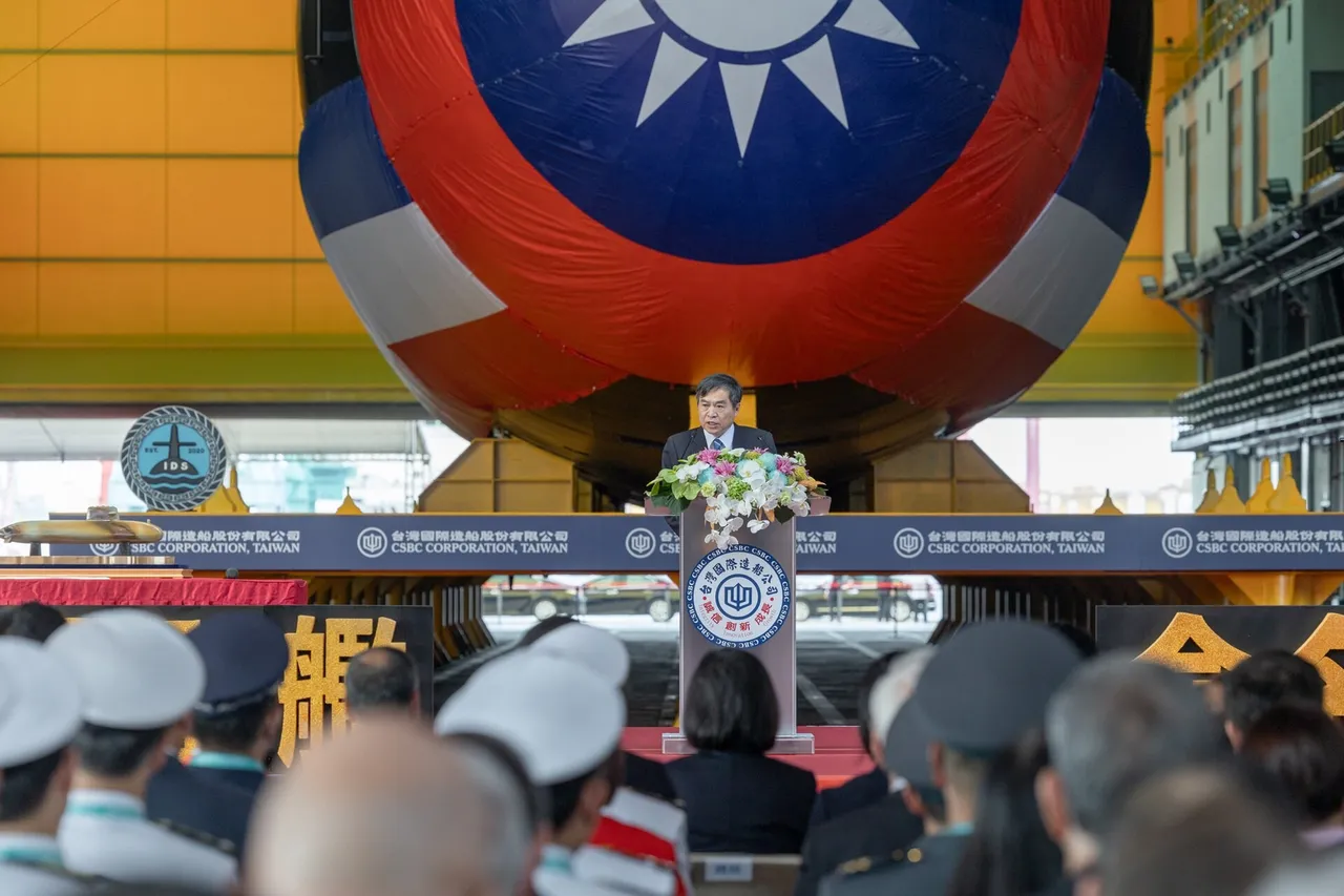
Taiwan's Hai Kun submarine begins deeper sea trials on its 25th outing
The indigenous prototype left Kaohsiung on 15 October for harder endurance and deep-dive checks as CSBC and the navy push toward year-end delivery.
TaiwanDefence · 2d ago · 2 min read
Taiwan's upgraded Hai Lung submarine will anchor a month of anti-submarine drills
The navy will run three waves of sea-air anti-submarine drills off the southwest from 28 October to 27 November, and plans to buy 100 underwater training targets.
TaiwanDefence · 2d ago · 3 min read
Discussion (0)
Comments are not currently available.