
South Korea confirms Google has hidden military sites before taking its detailed map data abroad
Seoul says Google met security conditions for exporting 1:5,000-scale map data, including masking military facilities and deleting nearby Street View images.


TAIPEI —
South Korea has confirmed that Google has met the security conditions attached to its permit to export the country's high-precision map data, after the company agreed to mask military and security facilities, hide map coordinates and pull Street View imagery from around sensitive sites. The Ministry of Land, Infrastructure and Transport announced the decision on 13 November after a morning meeting of the committee that reviews overseas exports of basic survey data, which is made up of officials from the relevant ministries and outside experts, according to Maeil Business Newspaper and The Asia Business Daily.
The committee approved Google's request to take the 1:5,000-scale map out of the country in February, but only on conditions, MK reported. Those included masking sensitive facilities across the global Google Maps and Google Earth services, restricting the display of latitude and longitude coordinates for South Korean territory, applying security processing to imagery, exporting only the data needed for route-finding, and setting up an emergency response system for security incidents.
Google filed a report on its compliance on 4 November, according to MK. The company had at first resisted the requirements, arguing that its services needed to work the same way worldwide, but it eventually accepted them. MK said Google built a system for South Korean territory that stops an app update from going out if it detects exposed coordinates.
Both outlets said Google has already obscured, as a temporary measure, the military and security facilities it was able to identify itself from foreign commercial satellite imagery. The full masking regime will apply once that imagery is replaced with security-processed imagery from South Korea. MK reported that the processing will be done by the state National Geographic Information Institute, while The Asia Business Daily said the processed imagery and map data will reach Google through the local navigation firm TMAP, which signed a contract with Google on 31 August and will handle the data on servers inside South Korea. Google is to use that imagery without altering it.
Street View is also being cut back around sensitive sites. The Asia Business Daily reported that Google has deleted Street View images showing the inside of the military and security facilities it identified, along with images of roads within 50 metres of their boundaries. Once domestic imagery is supplied, Google plans to remove interior and surrounding Street View images for every such facility in the country.
Google has also agreed to a crisis arrangement. The head of Google Korea will be the officer responsible for the company's maps of South Korea, and Google will set up a real-time system to handle government requests, The Asia Business Daily said. In a national security emergency, such as a major natural disaster or an armed conflict, Google will consult the government on changing which areas are masked or switching off specific features.
The government will keep monitoring the exported imagery and data and Google's compliance with the conditions. The Asia Business Daily said the permit can be suspended in the event of a serious breach, and MK reported that the committee could suspend or revoke the approval if it finds non-compliance.
The scale of the data explains why Seoul held out for so long. MK said a 1:5,000 map represents 50 metres on the ground as one centimetre, enough to show every existing route, the outline and size of buildings and changes in terrain height, including the ground around military and security facilities. For that reason the authorities had refused export requests from global technology firms for close to 20 years, and Google is the first foreign company to be allowed to send the data abroad, according to MK. The approved data covers the base map and road information such as road names, lane counts, speed limits and road geometry, which will let Google offer driving and walking directions in South Korea, The Asia Business Daily reported. Talks about Google building a data centre in the country did not produce an agreement, MK said.
Sources
More in Indo-Pacific
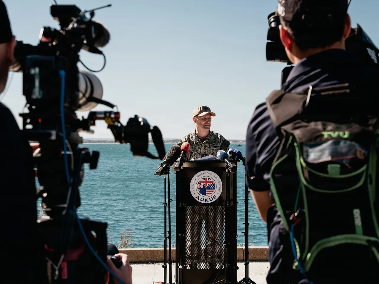
US Pacific submarine chief warns China can keep building nuclear attack submarines at pace for a decade
Chris Cavanaugh says the PLA Navy fielded eight Shang III boats in under four years, while Chinese survey work maps seabed near Taiwan, Guam and Hawaii.
TaiwanDefence · 1h ago · 3 min read
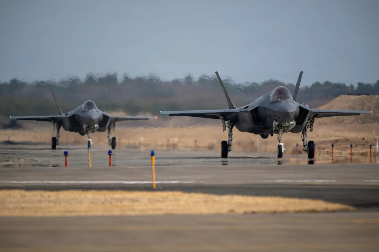
Japan warns defence firms of deep order cuts as Tokyo eyes a smaller five-year military budget
Finance officials want 50 to 60 trillion yen for 2027 to 2031, well below the 80 trillion yen some planners sought, putting F-35 and missile buys at risk.
TaiwanDefence · 2h ago · 3 min read

Philippine Navy commits most of its Manila-based fleet to guard the ASEAN summit
Two new 2,400-tonne offshore patrol vessels will join Marines, naval commandos and aircraft securing Manila Bay for the ASEAN leaders' meetings on 16 to 18 November.
TaiwanDefence · 3h ago · 2 min read
Discussion (0)
Comments are not currently available.